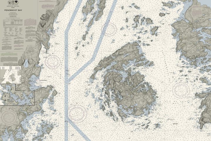
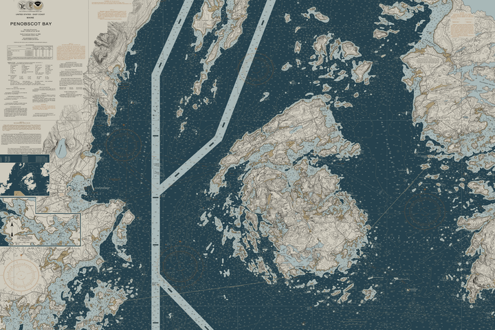
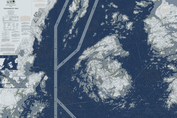
Penobscot Bay Maine Nautical Chart
- Some frame styles may not accommodate certain sizes. If you see a size is "Unavailable" then try another frame type or size. For larger print sizes select "Gallery Wrap Canvas" as the frame type!
- To get a better view, click on a picture on the left to be able to zoom in and view the gallery.
- US Shipping is already included in all prices so no hidden fees during checkout!
A nautical chart of Penobscot Bay Maine in our classic tan-and-blue palette — a real chart, custom recolored and cropped in our studio for the wall, not a plain reprint. Made to belong in a coastal home, beach house, living room, office or den.
Glimpse beauty and coastal flair when you discover Penobscot Bay - an inlet of the Gulf of Maine and Atlantic Ocean in south central Maine. Origin of the Penobscot River, Penobscot Bay lies between Muscongus Bay and Blue Hill Bay, just west of Acadia National Park. Explore working waterfronts like Rockland, Rockport, and Stonington, or venture upriver to Belfast!
- Multiple sizes available
- Available as gallery wrap canvas or a solid-wood floating frame in seven finishes (Black, Natural, Rustic White, White, Pecan, Gold or Silver)
- Same fine-art quality, will not fade or discolor, ready to hang
- Proudly made in the USA
See the print up close
These three details are cut straight from the print file at actual print resolution. Click one to open it in the viewer below, then drag to move around it.
Viewer
Showing the full chart — drag to look around. Open a print detail above to see it at true resolution.