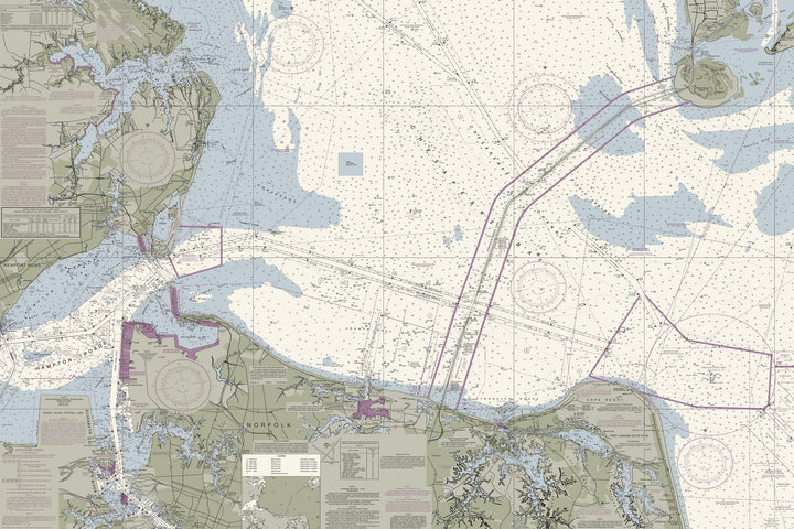
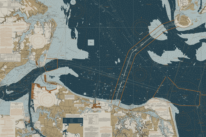
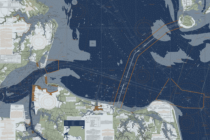
Chesapeake Bay - Cape Charles To Norfolk Harbor Nautical Chart
$129.00
- Some frame styles may not accommodate certain sizes. If you see a size is "Unavailable" then try another frame type or size. For larger print sizes select "Gallery Wrap Canvas" as the frame type!
- To get a better view, click on a picture on the left to be able to zoom in and view the gallery.
- US Shipping is already included in all prices so no hidden fees during checkout!
- Norfolk city is located at the southeastern corner of Virginia at the junction of the Elizabeth River and the Chesapeake Bay. The Hampton Roads Metropolitan Statistical Area (officially known as the Virginia Beach-Norfolk-Newport News, VA-NC MSA) is the 37th largest in the United States, with an estimated population of 1,716,624 in 2014. The area includes the Virginia cities of Norfolk, Virginia Beach, Chesapeake, Hampton, Newport News, Poquoson, Portsmouth, Suffolk, Williamsburg, and the counties of Gloucester, Isle of Wight, James City, Mathews, and York, as well as the North Carolina counties of Currituck and Gates.
- Multiple sizes available
- Printed on art canvas and stretched around a gallery wrap frame
- Will not fade or discolor and ready to hang
- Proudly made in the USA!
See the print up close
These three details are cut straight from the print file at actual print resolution. Click one to open it in the viewer below, then drag to move around it.
Viewer
Showing the full chart — drag to look around. Open a print detail above to see it at true resolution.
Drag to move · scroll or pinch to zoom