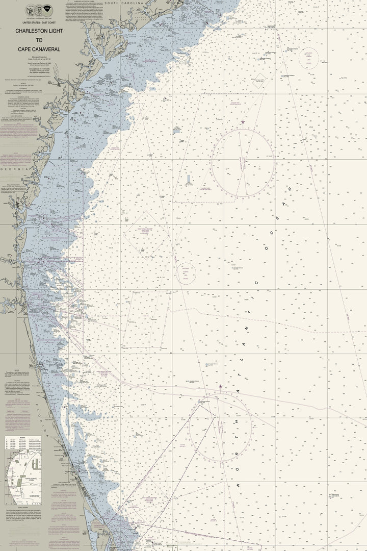
Charleston Light to Cape Canaveral Nautical Chart — Modern Edition
$165.00
- Some frame styles may not accommodate certain sizes. If you see a size is "Unavailable" then try another frame type or size. For larger print sizes select "Gallery Wrap Canvas" as the frame type!
- To get a better view, click on a picture on the left to be able to zoom in and view the gallery.
- Shipping in the continental US is already included in all prices, so no hidden fees at checkout!
A nautical chart of Charleston Light to Cape Canaveral in our Modern palette of deep navy water, cool gray land and sage marshes — a real chart, custom recolored in our studio for the wall, not a plain reprint. Made to belong in a beach house, coastal home, living room, office or den.
One sweep of the South Atlantic coast, from Charleston Light in South Carolina past Savannah, the Georgia sea islands, Jacksonville and St. Augustine down to Cape Canaveral. Several hundred miles of shoreline and the open water beyond it, all on a single sheet.
Cut from NOAA's Charleston Light to Cape Canaveral chart and recolored in our studio.
- Multiple sizes available
- Available as gallery wrap canvas or a solid-wood floating frame in seven finishes (Black, Natural, Rustic White, White, Pecan, Gold or Silver)
- Same fine-art quality, will not fade or discolor, ready to hang
- Proudly made in the USA
Viewer
Showing the full chart — drag to look around. Open a print detail above to see it at true resolution.
Drag to move · scroll or pinch to zoom